Science
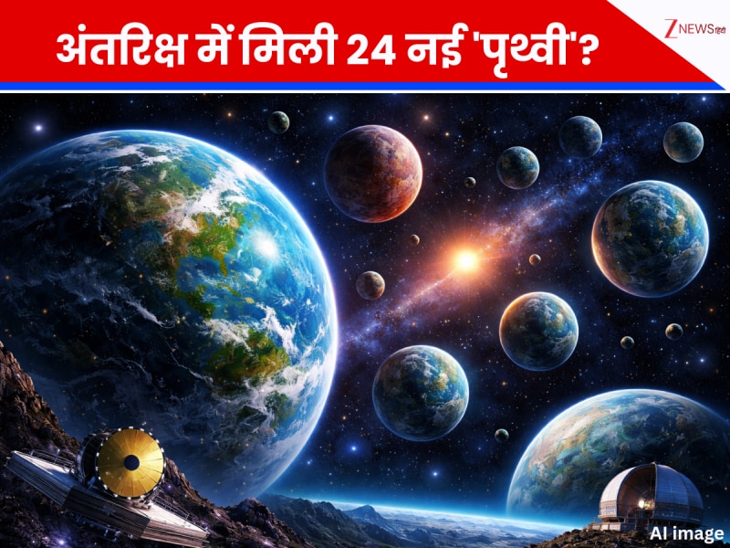
अंतरिक्ष में मिली 24 नई \'पृथ्वी\'? वैज्ञानिकों को दिखे ऐसे ग्रह जहां मुमकिन है जीवन; अब दुनिया के सबसे ताकतवर टेलिस्कोप खोलेंगे राज
March 26, 2026
598 views
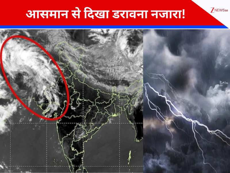
फिर से होने जा रही है घनघोर बारिश, काले बादलों से दिन में हो जाएगा अंधेरा! सैटेलाइट ने दिखाई ऊपर से तस्वीर

Loading more news...
You've reached the end of our news feed. Check back later for more updates!